Uppbeat

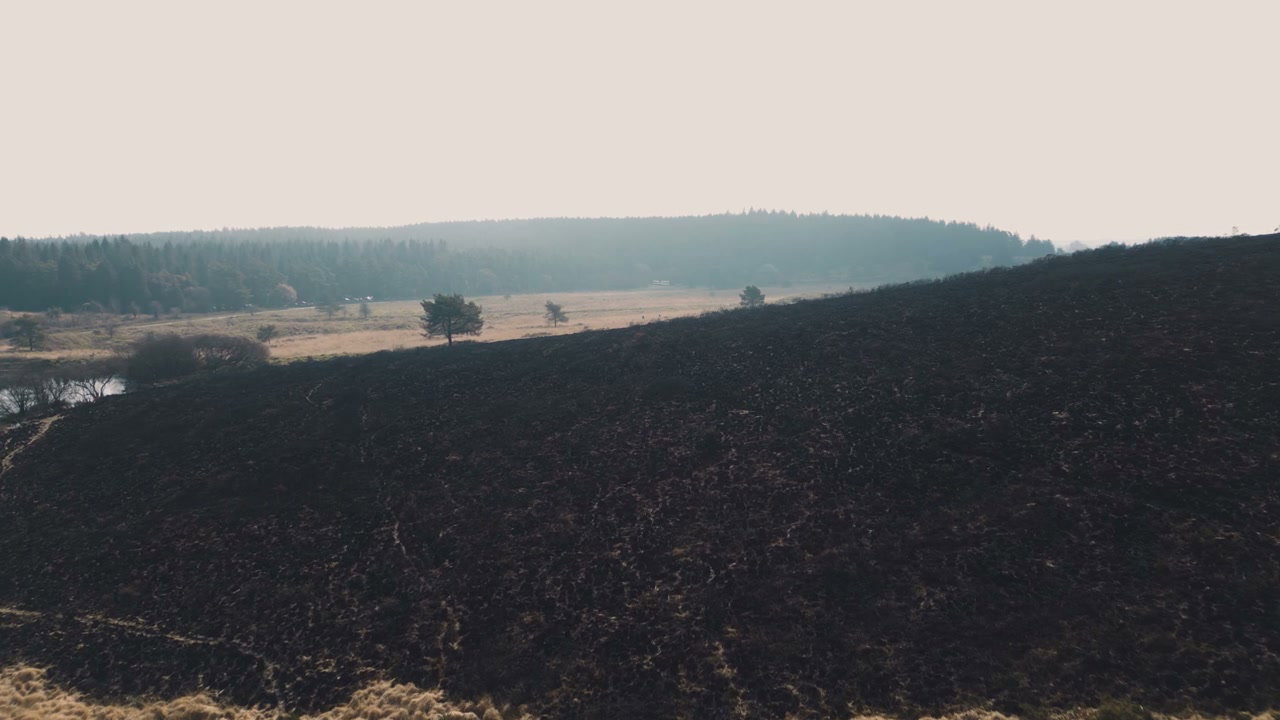
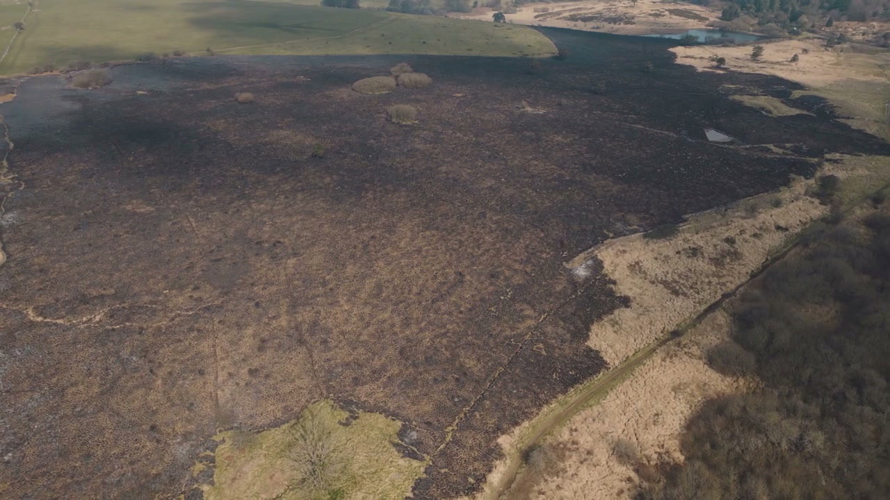
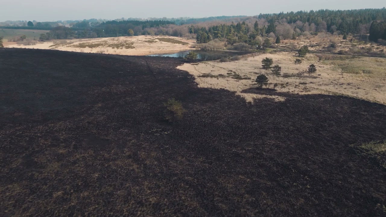
Aerial View of Wildfire Aftermath

Arthur Cauty

An aerial drone shot shows the stark contrast between a large area of black, scorched earth from a wildfire and an adjacent section of dry, light-colored grasslands, featuring a small green tree.

From this shoot

Burnt Moorland After Wildfire From Above
0:00
Filmed by Arthur Cauty
Aerial View Burnt Moorland After Wildfire
0:00
Filmed by Arthur Cauty
Burnt Landscape After Wildfire in Somerset
0:00
Filmed by Arthur Cauty
Aerial View of Scorched Wildfire Land
0:00
Filmed by Arthur Cauty

You may also like

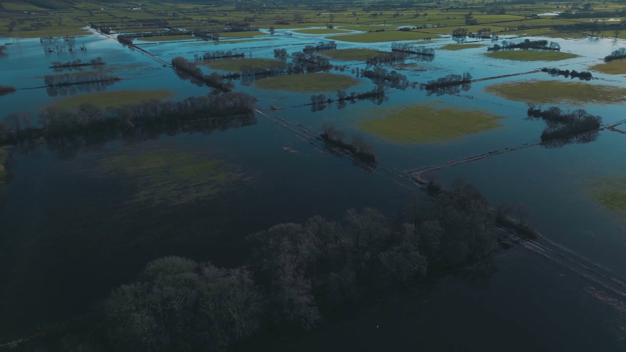
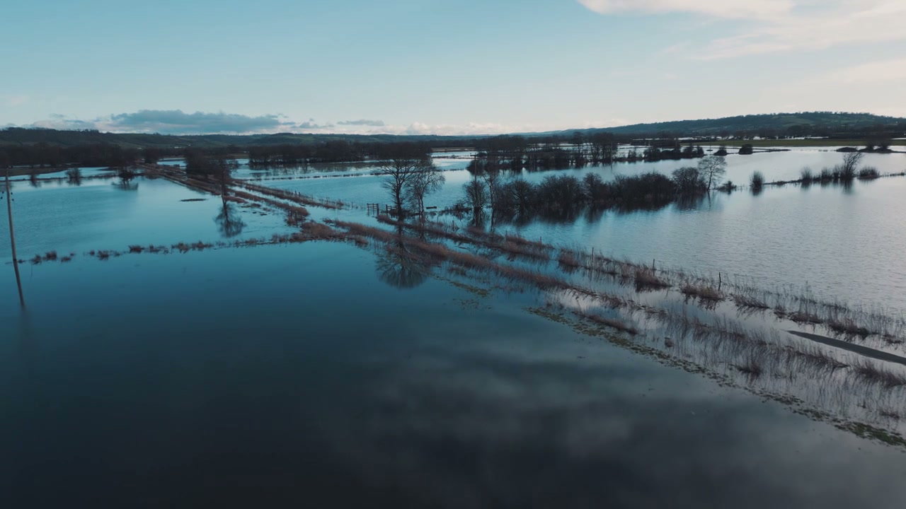
Aerial View of Flooded Agricultural Fields
0:00
Filmed by Arthur Cauty
Aerial View of Vast Flooded Countryside Fields
0:00
Filmed by Arthur Cauty
Aerial View of Dry Farm Fields and Rolling Hills
0:00
Filmed by Viktor Sloth
Aerial View Of Rural Landscape With Pond
0:00
Filmed by m-art production
Aerial View of Drought-Stricken Lake Shore
0:00
Filmed by Arthur Cauty
Aerial View of Icebergs in Glacier Lagoon
0:00
Filmed by Kristian Kettner
Aerial View of Glacier with Volcanic Ash
0:00
Filmed by Kristian Kettner
Aerial View of Vast Flooded Fields
0:00
Filmed by Arthur Cauty
Aerial View of Flooded Fields Near Glastonbury Tor
0:00
Filmed by Arthur Cauty
Aerial View of Glacier and Glacial Lake
0:00
Filmed by Andreas Moeslund
Aerial View of Icebergs in Jökulsárlón Lagoon
0:00
Filmed by Frames by Julian
Flooded Farmland Aerial View
0:00
Filmed by Arthur Cauty