Uppbeat

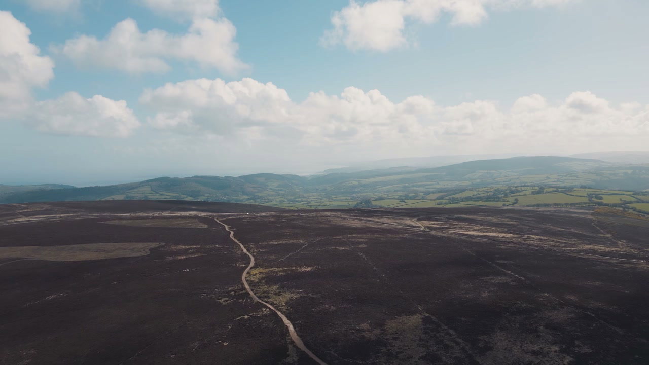
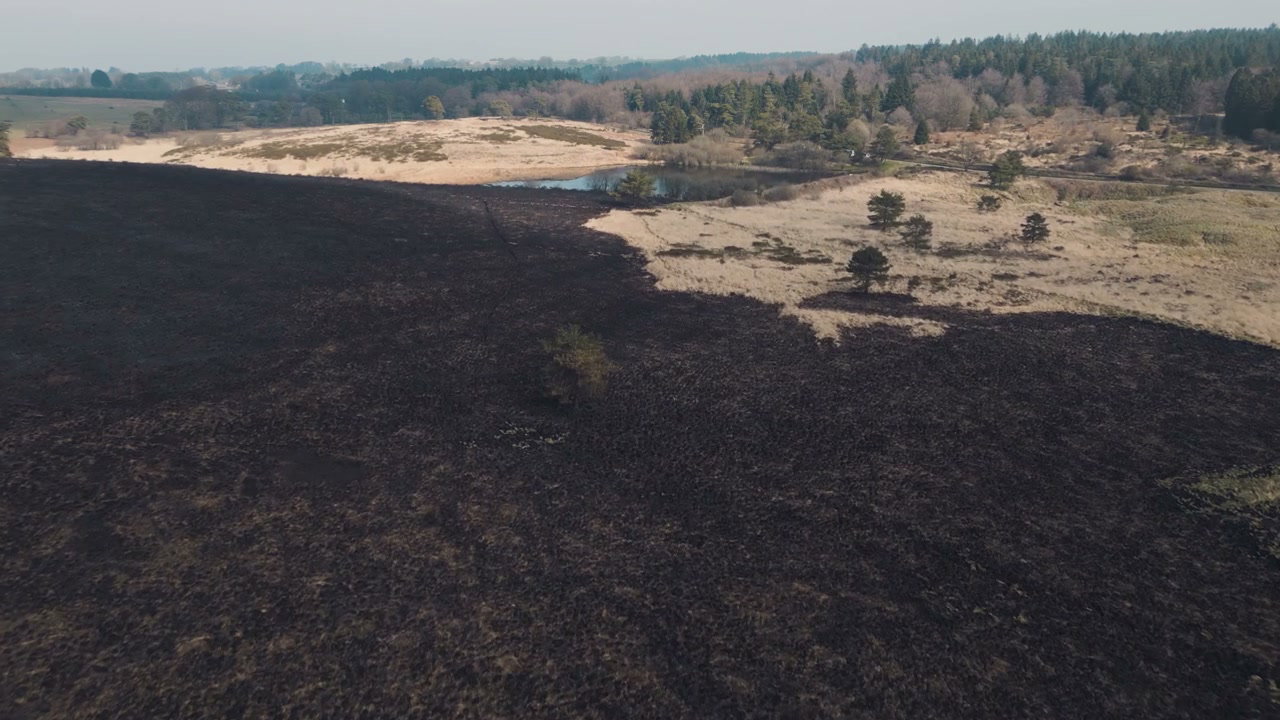
Aerial View of Burnt Landscape with Path, Somerset

Arthur Cauty

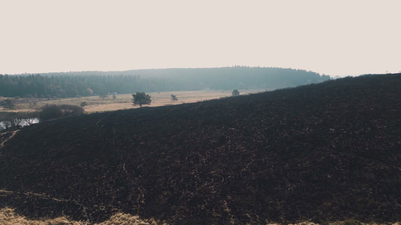
An aerial drone shot tracks forward over a dark, scorched landscape extensively damaged by wildfire in Somerset, England, featuring a winding path through the burnt vegetation.

From this shoot

Burnt Moorland After Wildfire From Above
0:00
Filmed by Arthur Cauty
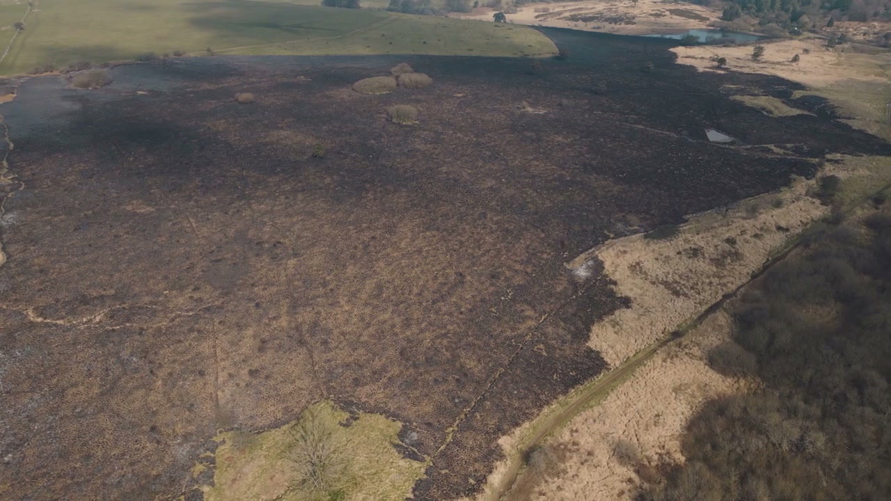
Aerial View Burnt Moorland After Wildfire
0:00
Filmed by Arthur Cauty
Burnt Landscape After Wildfire in Somerset
0:00
Filmed by Arthur Cauty
Aerial View of Scorched Wildfire Land
0:00
Filmed by Arthur Cauty

You may also like

Aerial View of Glacier with Volcanic Ash
0:00
Filmed by Kristian Kettner
Aerial View of Glastonbury Tor
0:00
Filmed by Arthur Cauty
Aerial View of Dry Landscape with Scattered Trees
0:00
Filmed by m-art production
Aerial View of Forest with Dying Trees
0:00
Filmed by m-art production
Aerial View of Large Iceberg with Dark Layers
0:00
Filmed by Morten Lovechild
Drone View of Rocky Landscape with Snow Mountains
0:00
Filmed by Kenneth Svanborg
Aerial View of Exmoor Moorland and Coastline
0:00
Filmed by Arthur Cauty
Aerial View of Green Park and Distant Town
0:00
Filmed by Chelsea Abbott
Aerial View of Coastal Cliffs and Winding Paths
0:00
Filmed by Chelsea Abbott
Aerial View of Icebergs in Glacier Lagoon
0:00
Filmed by Kristian Kettner
Aerial View of Dense Green Forest
0:00
Filmed by Morten Lovechild
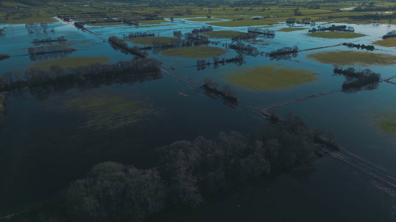
Aerial View of Flooded Agricultural Fields
0:00
Filmed by Arthur Cauty